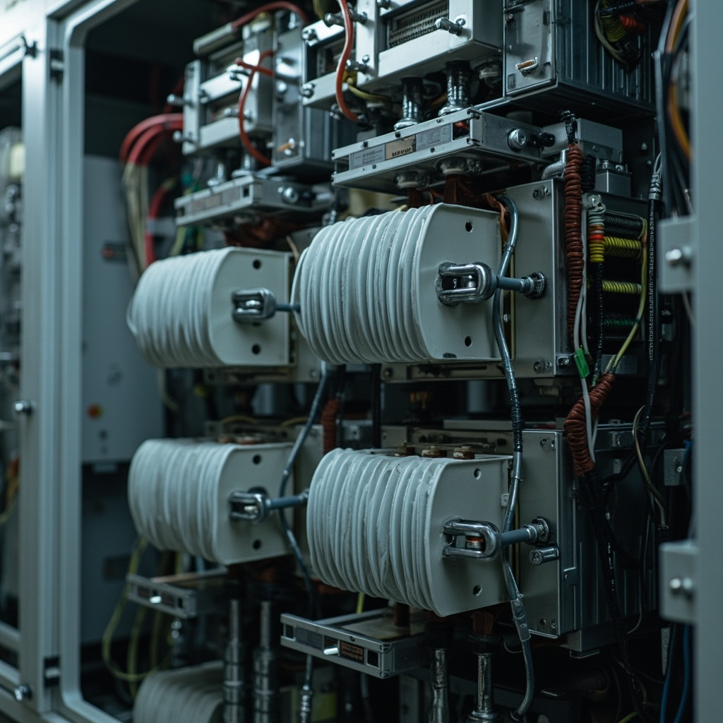

Omron Safety Relay Wiring: G9SX Dual-Channel Input, Test Pulse, Category 3 Architecture, E-Stop Circuit Design
Introduction Safety relays play a crucial role in safeguarding industrial machinery and ensuring compliance with international safety standards such as ISO 13849 and IEC 62061. These devices are designed to monitor and control safety functions, such as emergency stops (E-stops) and guard interlocks, to prevent accidents and protect machine operators. In the event of a […]
Read article →